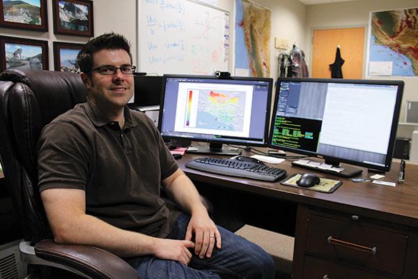
Scott Marshall uses quantitative math equations to track the movement of the earth’s surface by tracking the motion of millions of points on the surface.
Marshall has been an assistant professor in the Department of Geology at Appalachian State University since 2008, but has been studying faults for much longer. Before becoming an assistant professor, Marshall worked on his doctorate at the University of Massachusetts where he researched the Ventura Basin in California. His research was funded by the Southern California Earthquake Center and the United States Geologic Survey.
Marshall used data from GPS measurements of surface motion in order to make predictions of motions along 3-D images of faults at depth in the basin, something that had not been done before for the Ventura region.
Marshall has now received funding to put the faults into a mathematical model of the Ventura region and compare the model to satellite data. This information will be provided to the earthquake forecast model made by the United States Geological Survey.
The information in the model will be used to set earthquake insurance prices in the area as well as building codes and restrictions, Marshall said.
Marshall said the information he provides does not directly predict when the next earthquake will happen but is used to understand earthquake hazards.
“I’m trying to understand why something is happening,” Marshall said. “[In] the area that I am working on now, there is recent data that has come out that suggests this fault system in Ventura creates magnitude-8 earthquakes. Everyone in Southern California is planning on the next one being at the San Andreas fault, which is probably going to be a [magnitude-]7.8 [earthquake], but this fault maybe makes [magnitude-]8 and it’s closer to where the people live.”
Because Marshall’s data comes from GPS satellite information, it does not matter where he is located as long as he has access to the data. This allows him to study faults in California and teach at Appalachian, he said.
Marshall said that some of the work he does is used in places where traditional geologic fieldwork is not practical.
“One of the reasons why I do what I do is that a lot of these faults are underneath cities,” Marshall said. “The best way to study faults is to actually get a back hoe and dig a trench across it and actually look at the record of what happened and the geology, but you can’t do that in downtown Los Angeles and you can’t do it in suburban Ventura.”
While this specific technique of using GPS to create 3-D models of faults is not taught in offered courses at Appalachian, Marshall has worked with six students in a directed study course where he shows them how to do the kind of research he works on in a one-on-one setting.
“The answer is the surface of the earth moved, the question is what caused it,” Marshall said.
In order to teach students how to find this answer, Marshall said that they require extensive knowledge in upper-level mathematics classes.
The classes are taught in the Department of Geology’s quantitative geoscience track, but the type of work is more commonly taught at the graduate level, Marshall said.
“The more advanced techniques require math and computer science skills that our students typically only have by their senior year,” Marshall said. “This is what makes interdisciplinary research difficult. One must have a strong foundation in several disciplines in order to cross them, and strong foundations take a lot of hard work and time to achieve.”
Marshall helped alumna Julia Irizarry learn the process of creating a 3-D model for faults and research for her thesis while she was an undergraduate student at Appalachian.
Irizarry was able to present her thesis with Marshall’s assistance at the American Geophysical Union meeting in San Francisco in 2011.
Marshall said the meeting is the premier geophysical meeting in the world.
“Presenting with Dr. Marshall was definitely [an] advantage,” Irizarry said.
She said her experience in presenting at the meeting as well as her experience in research will help her as she works to get a graduate degree in geological sciences at University of Oregon.
“I was really fortunate for the opportunity to work with Dr. Marshall,” Irizarry said.
The results of the research will be published in November.
Story: STEPHANIE SANSOUCY, News Editor
Photo: MOLLY COGBURN, Intern Photographer


