Students at Appalachian State University are offered a multitude of options for outdoor recreational activities. Hiking is one of the common pastimes students and residents participate in, but those who aren’t familiar with the local trails may not know where to hike, or only know of the popular Rough Ridge trail.
The Boone Fork Trail, Linville Falls, Grandfather Mountain, the Fire Tower Trail and Windmill Trail each offer different experiences for hikers. From short, easily accessible loops to long and difficult trails, there is sure to be a hike for everyone.
Boone Fork Trail
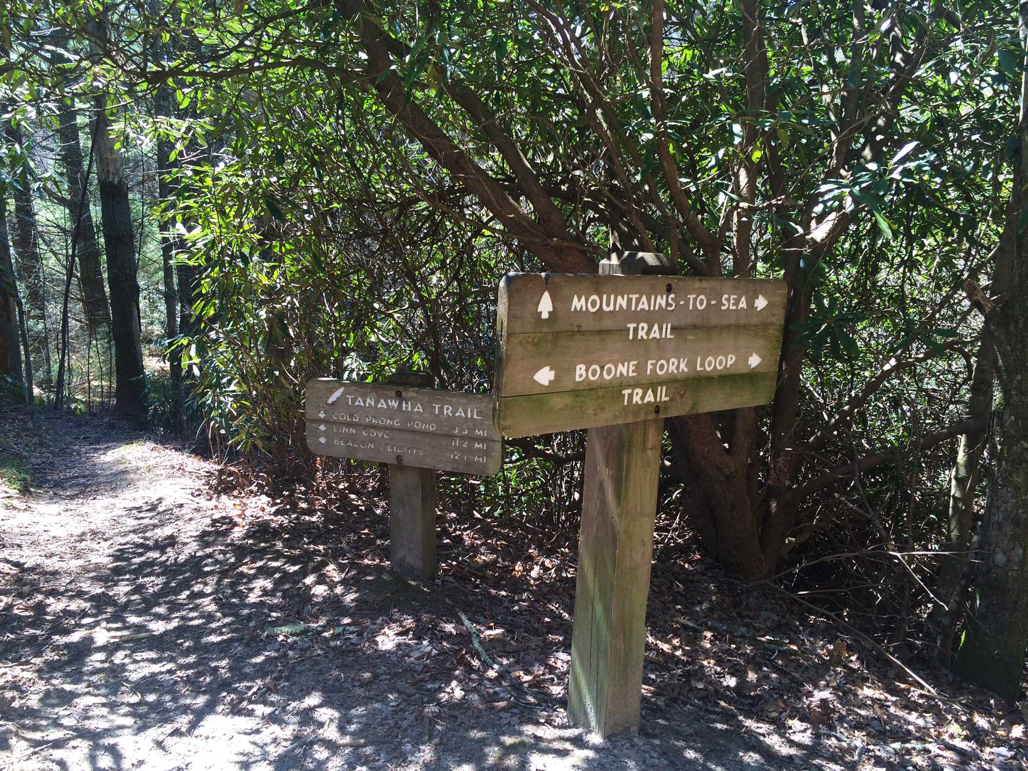
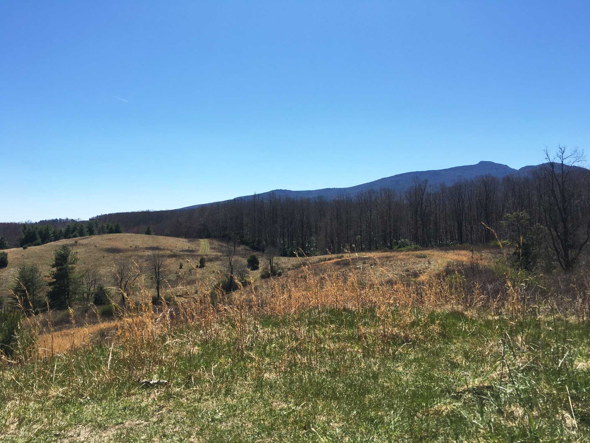
The Boone Fork Trail, a 5-mile loop, is an easy hike for the most part, but does have some steep hills and slopes along the way. It is considered to be one of the most diverse trails in the High Country because it crosses a wide variety of terrains. Boone Fork passes Price Lake, cuts through camp grounds, winds through sprawling cow pastures, crosses streams and emerges at waterfalls. It can be accessed at mile marker 295 on the Blue Ridge Parkway. Since the trail is a loop, it can be hiked clockwise or counterclockwise.
“I like the trail because it lets you see a lot of scenes, such as the cow pastures,” freshman social work major Abby Hines said.
A few miles up the parkway, the upper Boone Fork Trail goes around the Boone Fork Trail headwaters. This hike is mostly flat, with only two moderate inclines. The trail goes along a lake, and has multiple places where people can access the river. During the warmer months of the year, people swim in the waist-level water. The trail ends at the Calloway Peak scenic overlook parking lot.
Linville Falls
Linville Falls is an approximately 1.4 mile long round trip. It is located off of the Blue Ridge Parkway at milepost 316.4, and is considered to be one of the more scenic hikes in the High Country. There are several different trails to take that lead to unique overlooks of the falls. These trails are well established and wider, which makes it easy to hike with other people.
“I really like the tippy top [of the trail],” freshman computer science major Ryan Petty said. “If you go all the way to the top, you get the best view. It’s a nice trail.”
At the bottom of the trail, there is a platform that allows a close view of the falls and the gorge. Other trails go to higher elevations that show different angles of the falls. These trails are steep, but short and hikers go through natural wilderness surrounded by trees for almost the entire trail.
“Going down is much more fun than going up because it’s really easy going down and you get this awesome view of the falls at the bottom,” freshman history education major Sean Damrel said.
Grandfather Mountain Trails
Grandfather Mountain is privately owned, and requires visitors to pay $20 to enter the park. However, there are some trails that are part of Grandfather Mountain that do not require the fee and still provide beautiful views.
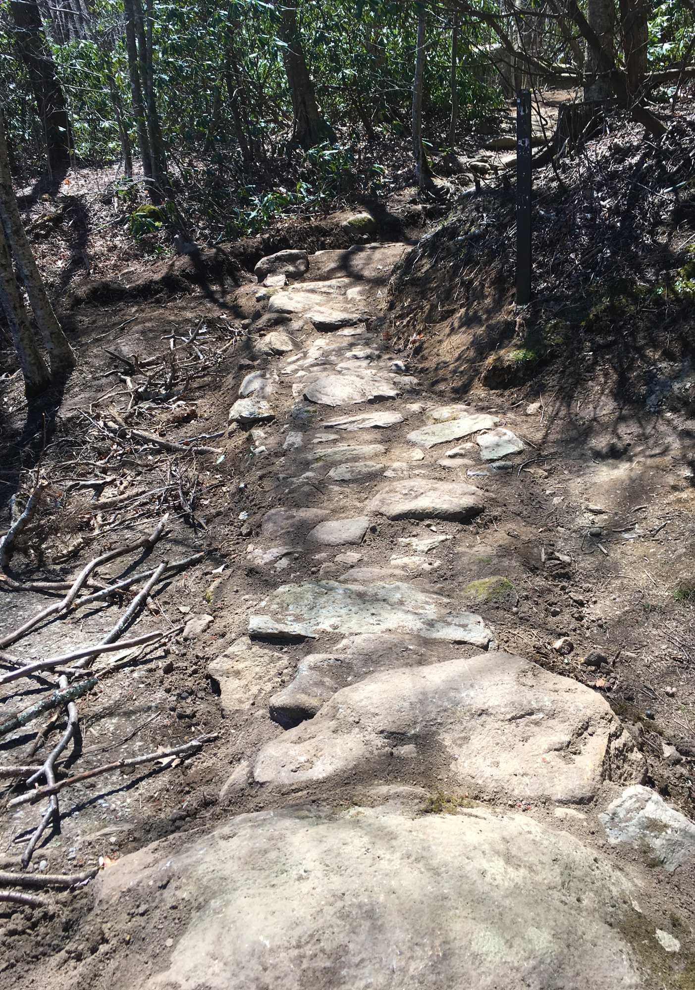
The Profile Trail is the first trail in the series. It is 5.6 miles long, and connects to the Grandfather Trail in the end. There are wildflowers alongside the trail, and at one point, it goes under a hardwood forest. This trail requires some more challenging footwork at the top, and is not recommended for beginners or people with poor balance.
The Grandfather Trail is .4 miles long, and leads to Calloway Peak, the highest peak on the Grandfather Mountain summit.
Damrel said he likes the Profile Trail because the terrain is very different. He particularly enjoys the low lying shrubbery on the trails as well as the rocky parts.
Fire Tower Trail at Moses Cone Memorial Park
The Moses Cone Memorial Park is located off of the parkway. There is a lake, several hiking trails, a graveyard and Flat Top Manor. The Carriage Trail loops around the lake and provides the opportunity for visitors to walk, take a horse drawn carriage, or ride horses on the trail.
The Fire Tower Trail is one of the more popular trails at Moses Cone. It is 2.8 miles one way, and is relatively easy. There are a few switchbacks on the trail that have steeper inclines, but the trails are clearly defined and well maintained.
“Because there are parts of it with cleared trees it has these incredible, expansive views where you feel you are in the Alps,” Damrel said.
The trail goes through a field, valleys and forests, and eventually leads to an old fire tower that can be climbed to the top. The fire tower used to be used to watch for fires in the valleys but now, the tower provides visitors with a 360 degree view of the High Country. On a nice day, campus is visible from the top of the tower.
“It is a really good trail for beginners who want to learn about history because you can see the Cone cemetery,” Hines said. “I like it a lot.”
Windmill Trail
Residents don’t need a car in order to go hiking in Boone. There are several hiking trails accessible by the Greenwood parking lot, located behind Appalachian Heights Residence Hall. One of trail’s available is in the biological preserve on campus that leads to the campus wind turbine.
The trail is only about a mile long, goes in a loop and fairly easy to hike. While it doesn’t have any scenic overlooks, the trail does cut through a forest, so hikers are surrounded by nature that has only been mildly altered.
“I like it,” Hines said. “It’s short, so it’s a really good one if you don’t hike a whole bunch.”


